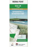
Port Stephens Topographic Map 25k - 9332-4S
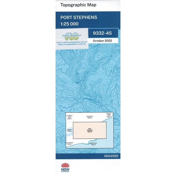
Port Stephens, 9332-4S, 1:25,000 scale (4cm=1km) topographic map covering lower Myall River, Tea Gardens, Hawks Nest, Cabbage Tree Island, Shoal Bay, Fingal, Nelson Bay, Lemon Tree Passage, North Arm Cove and adjacent parks and reserves.
In stock
SKU
9332-4S
$16.70


Related Products
Check items to add to the cart or
| Publisher | LPI |
|---|---|
| Description | Port Stephens 1:25,000 scale topographic map, 2022 geopdf edition, LPI NSW. This map may be laminated for extra durability in the field. |
Write Your Own Review