Pallarang Topographic Map - 7127-N
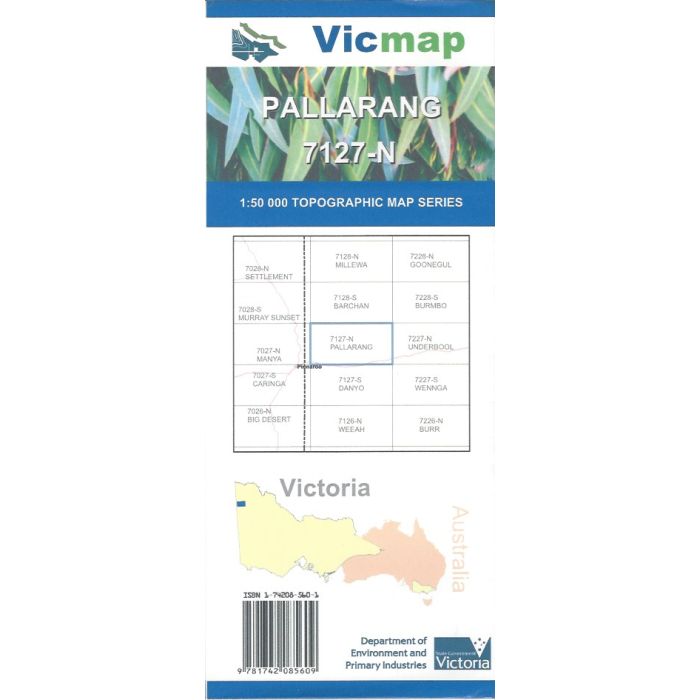
Pallarang, 7127-N, 1:50,000 scale topographic map covering the southern edge of Murray-Sunset National Park to Cowangie and the Mallee Highway in far western Victoria.
In stock
SKU
7127-N
$12.00


Related Products
Check items to add to the cart or
| Publisher | Vicmap |
|---|---|
| Description | Pallarang 1:50,000 scale topographic map, 7127-N, 3rd edition, 2014, Vicmap. |
Write Your Own Review