Otford Topographic Map - 9129-4S
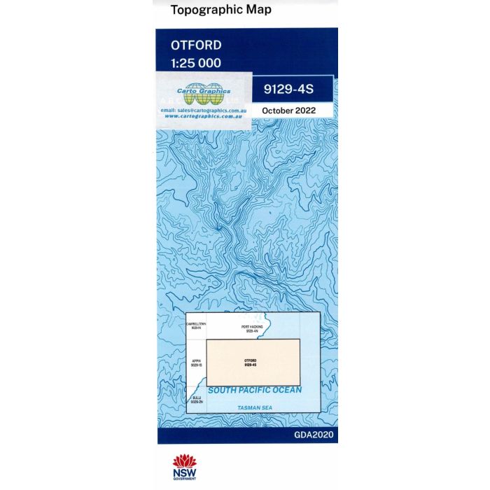
Otford, 9129-4S, 1:25,000 scale NSW topographic map covering the southern part of Royal National Park and Hacking River headwaters from Wattamolla beach to Otford.
In stock
SKU
9129-4S
$16.70


Related Products
Check items to add to the cart or
| Publisher | LPI |
|---|---|
| Description | Otford 1:25,000 scale topographic map, 9129-4S, 2022 Geo pdf edition, LPI NSW. This map can be laminated and refolded for extra durability in the field. |
Write Your Own Review