Numurkah Topographic Map - 7925-N
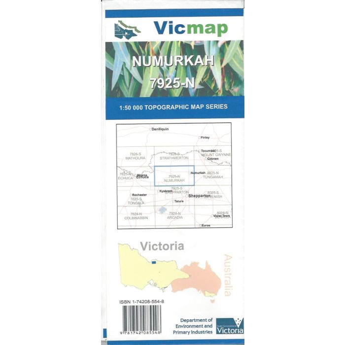
Numurkah, 7925-N, 1:50,000 scale Victorian topographic map covering Lower Goulburn National Park, Broken Creek, Numurkah, Nathalia, Tallygaroopna, Wyuna and surrounding district.
In stock
SKU
7925-N
$12.00


Related Products
Check items to add to the cart or
| Publisher | Vicmap |
|---|---|
| Description | Numurkah 1:50,000 scale topographic map, 7925-N, 3rd edition, 2014, Vicmap. |
Write Your Own Review