Nattai Topographic Map - 8929-1S
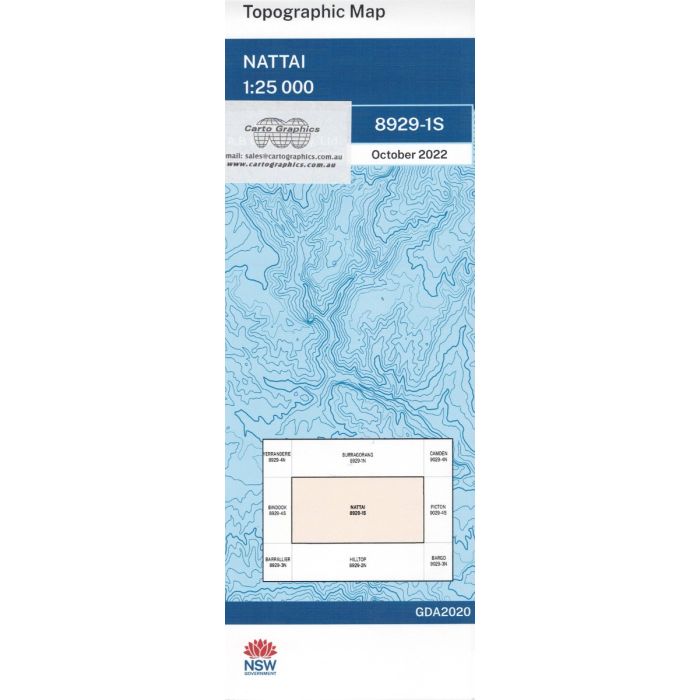
Nattia, 8929-1S, 1:25,000 scale topographic map covering Yerranderie State Conservation Area and Nattai National Park including Allum River Canyon and Nattai Tableland.
In stock
SKU
8929-1S
$16.70


Related Products
Check items to add to the cart or
| Publisher | LPI |
|---|---|
| Description | Nattai 1:25,000 scale topographic map, 8929-1S, LPI NSW, 2022 Geopdf edition. This map may be folded for extra durability in the field. |
Write Your Own Review