Lavender Federation Trail Map 2
Lavender Federation Trail Map 2
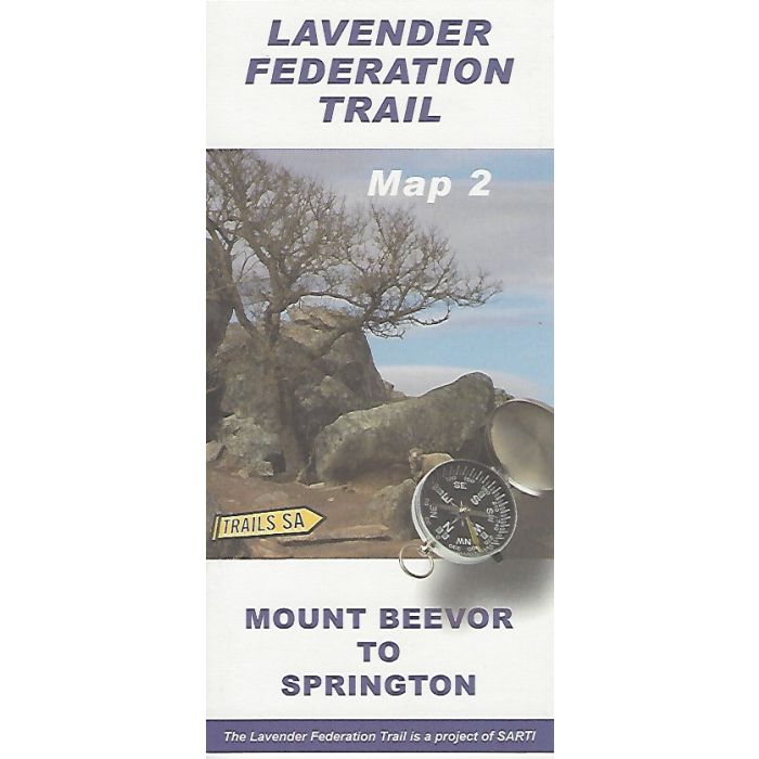
This map covers 47km of the main walk from Mount Beevor to Springton as well as the 17km Tungkillo Loop, the 112km Sanderston Trail and the M2C bike trail all in 1:50,000 scale topographic detail. Includes elevation profile and track notes.
In stock
SKU
LFT2
$9.95

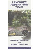
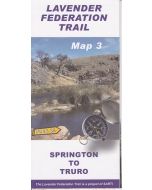
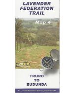
Related Products
Check items to add to the cart or

| Description | Lavender Federation Trail Map 2 - Mount Beevor to Springton. NEW 2nd edition adding the Sanderston Trail as well as the M2C bike trail which runs from Murray Bridge to Clare. The Lavender Federation Trail is a long distance walking trail highlighting the eastern Mount Lofty Ranges. This map covers 47km of the main walk plus the 17km Tungkillo Loop in 1:50,000 scale topographic detail. |
|---|
Write Your Own Review