Koonibba Topographic Map - 5534-2
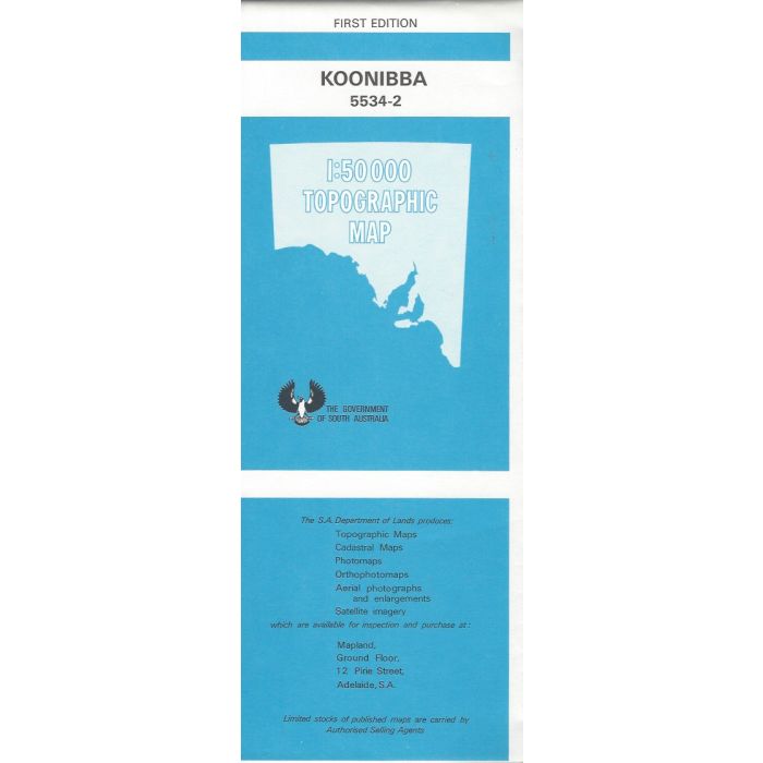
Koonibba, 5534-2, 1:50,000 scale topographic map covering a portion of western South Australia from Uworra and Woolshed Hill across the Eyre Highway and north to the Dog Fence and Yumbarra Conservation Park including Koonibba Community and Kallibulna Plain.
In stock
SKU
5534-2
$12.50

Related Products
Check items to add to the cart or

| Description | Koonibba 1:50,000 scale topographic map, 5534-2, 1st edition, DEWNR South Australia. |
|---|
Write Your Own Review