Kangaroo Island - CFS/ Emergency Services Topographic Map Book
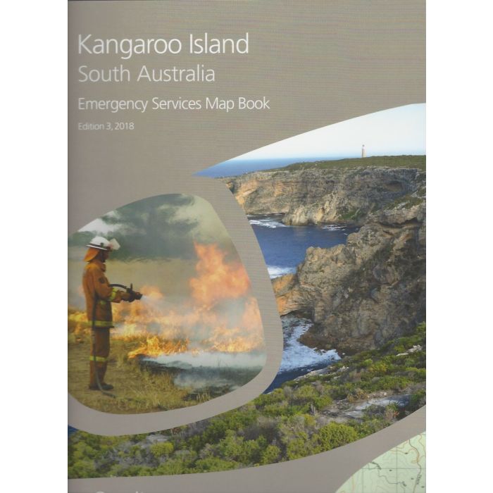
Kangaroo Island Emergency Services Topographic Map Book (CFS Map Book).
1:50,000 scale maps covering the whole of Kangaroo Island, South Australia, with full topographic detail. More detailed mapping over towns and villages.
In stock
SKU
CFS-KI
$65.00

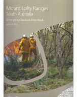
Related Products
Check items to add to the cart or

| Description | Kangaroo Island Topographic Map Book, often called CFS Book. 3rd Edition, 2018. This volume covers Kangaroo Island at 1:50,000(2cm=1km) scale. Included town maps are 1:20,000 scale. The CFS/SES map books of South Australia are available in 7 different regions. Each shows detailed topographic mapping with full Map Grid of Australia (MGA94) coordinates for use with GPS (set WGS84 in your GPS). Maps are based on the State Government 1:50 000 scale dataset. |
|---|
Write Your Own Review