Heysen Trail Map 2 - Kuitpo to Tanunda
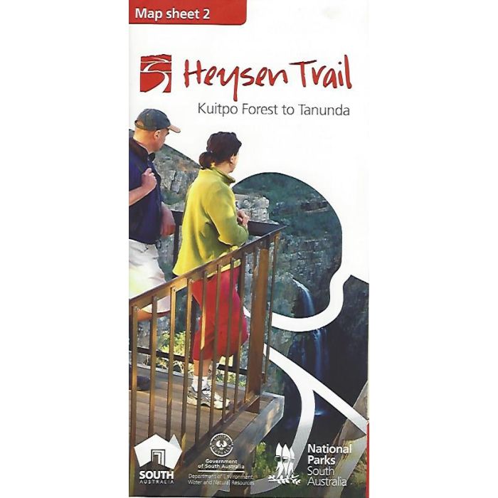
Heysen Trail Map Sheet 2 - Kuitpo to Tanunda. This 1:50,000 scale double-sided topographic map covers 144km of trail through the heart of the Adelaide Hills in sectional strip maps with associated elevation profiles.
In stock
SKU
H2
$15.00

Related Products
Check items to add to the cart or
| Description | Heysen Trail Map Sheet 2 - Kuitpo to Tanunda This 1:50,000 scale double-sided topographic map covers 144km through the southern part of the Heysen Trail in sectional strip maps with associated elevation profiles. This trail section features pine forests, historic goldfields and towns, vineyards, native bushland and farmland as well as numerous towns of the Adelaide Hills and Barossa Valley. As the region nears Adelaide you will encounter more people and structures. There are many landscapes to experience as the terrain chamges, including spectacular views over Adelaide and Gulf St Vincent.. Printed on tough, waterproof, tear-resistant paper, 590mm x 830mm folded to 100mm x 210mm The second of eight maps in the series; Map 1 - Cape Jervis to Kuitpo Map 2 - Kuitpo to Tanunda Map 3 - Tanunda to Burra Map 4 - Burra to Spalding Map 5 - Spalding to Wirrabara Forest Map 6 - Wirrabara Forest to Dutchmans Stern Map 7 - Dutchmans Stern to Mernmerna Creek Map 8 - Mernmerna Creek to Parachilna Gorge |
|---|
Write Your Own Review