Great Desert Tracks Central Map Sheet - Hema Maps
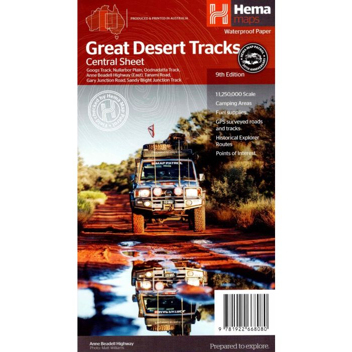
Great Desert Tracks Central Map Sheet - Hema Maps 9th edition, waterproof paper.
Covering from Judbarra/Gregory National Park in the north to Ceduna in the south, and from Halls Creek in the west to Coober Pedy in the east. Marked on the mapping are roads and 4WD tracks checked by the Hema Map Patrol, distance markers, topographical relief and touring points of interest including 24-hour fuel, camping areas and caravan parks, facilities, services and more.
In stock
SKU
HemaGDTCent
$14.95


Related Products
Check items to add to the cart or
| Publisher | Hema Maps |
|---|---|
| Description | Great Desert Tracks Central Map Sheet - Hema Maps 9th edition waterproof paper. The Great Desert Tracks Central Sheet covers from Judbarra/Gregory National Park in the north to Ceduna in the south, and from Halls Creek in the west to Coober Pedy in the east. Marked on the mapping are roads and 4WD tracks checked by the Hema Map Patrol, distance markers, topographical relief and touring points of interest including 24-hour fuel, camping areas and caravan parks, facilities, services and more. Also included is information on travelling in the desert, what you need for the trip and relevant contact information. Key tracks include: Googs Track Nullarbor Plain Oodnadatta Track Anne Beadell Highway (East) Tanami Road Gary Junction Road Sandy Blight Junction Track |
Write Your Own Review