Goonegul Topographic Map - 7228-N
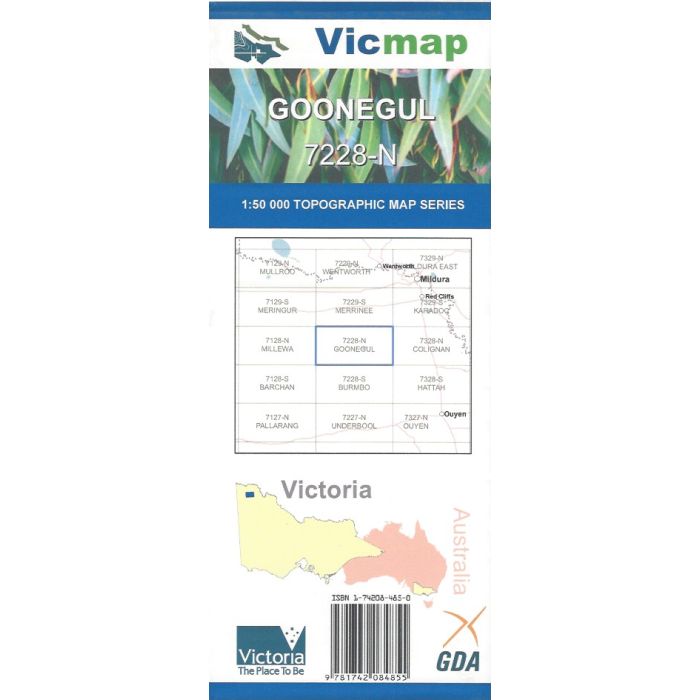
Goonegul, 7228-N, 1:50,000 scale Victorian topographic map covering part of Murray-Sunset National Park including Rocket Lake, Pheeneys Track, Underbool Track and Old Mopoke-Millewa Cattle Trail.
In stock
SKU
7228-N
$12.00


Related Products
Check items to add to the cart or
| Publisher | Vicmap |
|---|---|
| Description | Goonegul 1:50,000 scale topographic map, 7228-N, 2nd edition, 2010, Vicmap. |
Write Your Own Review