Eyre Peninsula Map South Australia - Carto Graphics
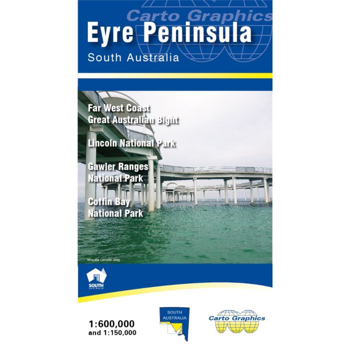
Eyre Peninsula Map South Australia - Carto Graphics
1:600,000 scale Touring map of Eyre Peninsula, South Australia showing full detail of major and minor roads (with names), national parks and conservation areas, hill shading, distance chart, town and locality index and more. The reverse side has Far West Coast extension across to the Western Australia border plus detailed 1:150,000 scale maps of selected national parks; Lincoln, Coffin Bay and Gawler Ranges.
In stock
SKU
CG-EP
$9.95


Related Products
Check items to add to the cart or
| Publisher | Carto Graphics |
|---|---|
| Description | Eyre Peninsula Map South Australia 1:600,000 scale Touring map of Eyre Peninsula, South Australia showing full detail of major and minor roads (with names), national parks and conservation areas, hill shading, distance chart, town and locality index and more. The reverse side has Far West Coast extension across to the Western Australia border plus detailed 1:150,000 scale maps of selected national parks; Lincoln, Coffin Bay and Gawler Ranges. |
Write Your Own Review