Cleland Conservation Park (Mount Lofty) Map
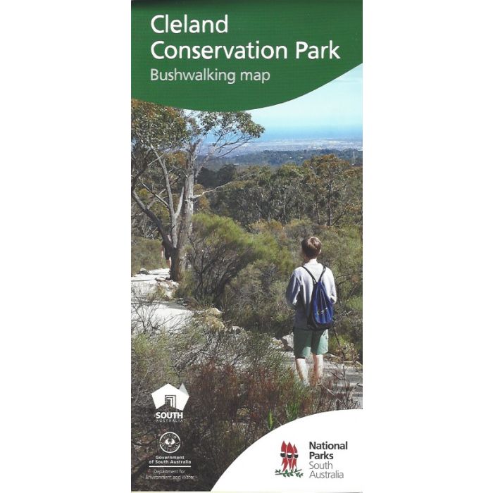
Highly detailed Mount Lofty and Cleland Conservation Park bushwalking map.
Cleland Conservation Park has a fantastic network of walking and cycling trails showcasing a diverse native wildlife, cultural heritage and spectacular views of the Adelaide Hills and surrounds. One of South Australia's most popular walking trails traverses this unique area from Waterfall Gully to Mt Lofty Summit.
Features include:
- Detailed topographic bushwalking map at 1:12,500 scale;
- Includes park information;
- The map depicts all roads, tracks and trails, features of interest, park facilities, emergency location markers, bus stops and elevation is represented via a hillshade and contours;
- The information includes details about all the bushwalking and cycling trails, features of interest within the park, safety information and an elevation profile of the Waterfall Gully to Mount Lofty hike
In stock
SKU
Cleland
$10.00

Related Products
Check items to add to the cart or

| Description | 1:12,500 scale detailed contour and trail map covering Cleland Conservation Park, Waterfall Gully, Mount Lofty summit from Crafers to Greenhill Road. Includes park notes. New editi |
|---|
Write Your Own Review