Chimneys Ridge Topographic Map - 8524-1N
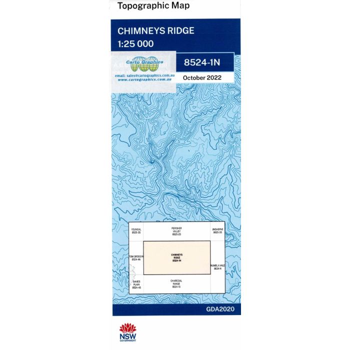
Chimneys Ridge, 8524-1N. NSW 1:25,000 scale topographic map covering the Pilot Wilderness Area in Kosciuszko National Park to the south of Thredbo.
In stock
SKU
8524-1N
$16.70


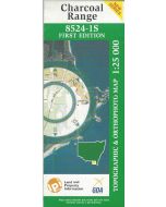
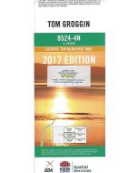
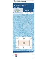
Related Products
Check items to add to the cart or
| Publisher | LPI |
|---|---|
| Description | Chimneys Ridge topographic map, 1:25,000 scale, 8524-1N. 2022 Geopdf edition, NSW Spatial Services. This map can be laminated and refolded for extra durability in the field. |
Write Your Own Review