Central Australia Map - Hema Maps
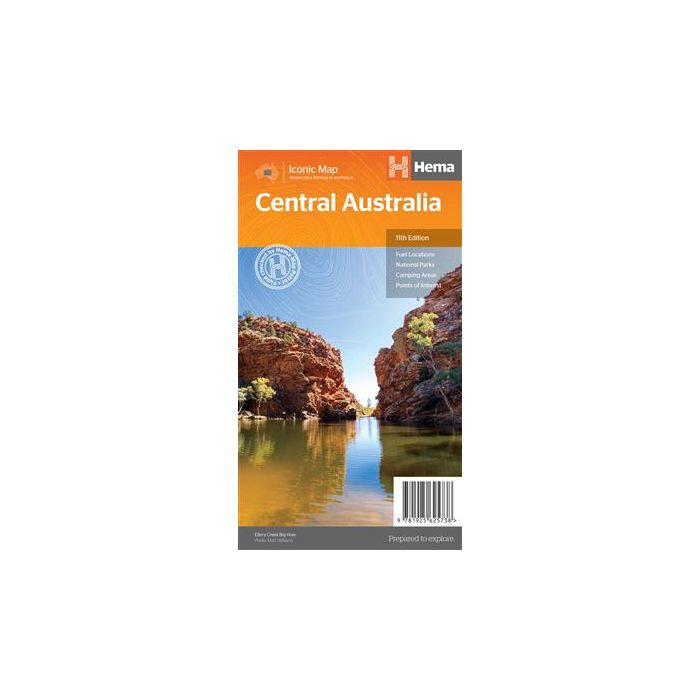
Central Australia Map - Hema Maps; 11th edition; scale 1:2,000,000; unfolded size 750 x 700 mm.
In stock
SKU
9781865006734
$14.95


| Publisher | Hema Maps |
|---|---|
| Description | Central Australia Map - Hema Maps; 11th edition; scale 1:2,000,000; unfolded size 750 x 700 mm. An off-road regional map of central Australia (1:2,000,000) that covers between Woomera in the south to Tennant Creek in the north, then from Windorah in the east past Yulara to the Warakurna Roadhouse in the west. On the opposite side are travel tips, photos, map coordinates and background information on outback regions including the Red Centre, East & West MacDonnell Ranges, Finke River region, around the Old Ghan, the Simpson Desert, Flinders Ranges, Corner Country, Channel Country, and Mt Isa to Tennant Creek. Central Australia's Great Trips are outlined also, with the Strzelecki Track, along the Stuart, Birdsville Track, Oodnadatta Track, Tanami Road, Sandover Highway and Plenty Highway featured. Included in each track's description is the length, longest time without fuel, facilities and a drive description. GPS surveyed roads and tracks GPS positions Fuel supplies National parks Camping areas Great Central Australia off-road trips Events by month Important contact information |
Write Your Own Review