Cape Jervis SA Topographic Map - 65264
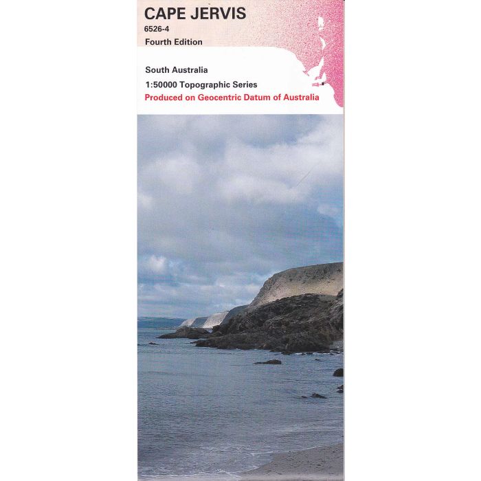
Cape Jervis 6526-4, 1:50,000 scale (2cm=1km) topographic map covering Delamere, Second Valley, Rapid Bay, Talisker Conservation Park, Deep Creek Conservation Park (part) on the tip of Fleurieu Peninsula.
In stock
SKU
65264
$12.50

| Description | Cape Jervis SA Topographic Map, 6526-4, 1:50,000 scale, 4th edition, 2001. |
|---|
Write Your Own Review