Blackville 25k Topographic Map -8934-4S
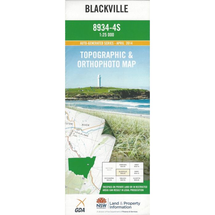
Blackville, 8934-4S, 1:25,000 scale (4cm=1km) topographic map covering part of Cooolah Tops National park and the area to the North including Black Mountain, Omeleah Creek, Yarraman Creek, Black Jack Mountain, Bundella Lookout and Norfolk Falls. Orthophoto map image on reverse side.
In stock
SKU
8934-4S
$16.70


| Publisher | LPI |
|---|---|
| Description | Blackville 1:25,000 scale topographic map and orthophoto, 8934-4S, 2014, LPI NSW. |
Write Your Own Review